Data collection workshops
Thanks to the combination of scientific research, advanced technology and active user participation, the EYE-LAND app allows for access to a constant flow of reliable date for landscape monitoring.
The universities involved in the project have developped several workshops to demonstrate, inform and involve users in data collection campaigns.
Here are some past events.
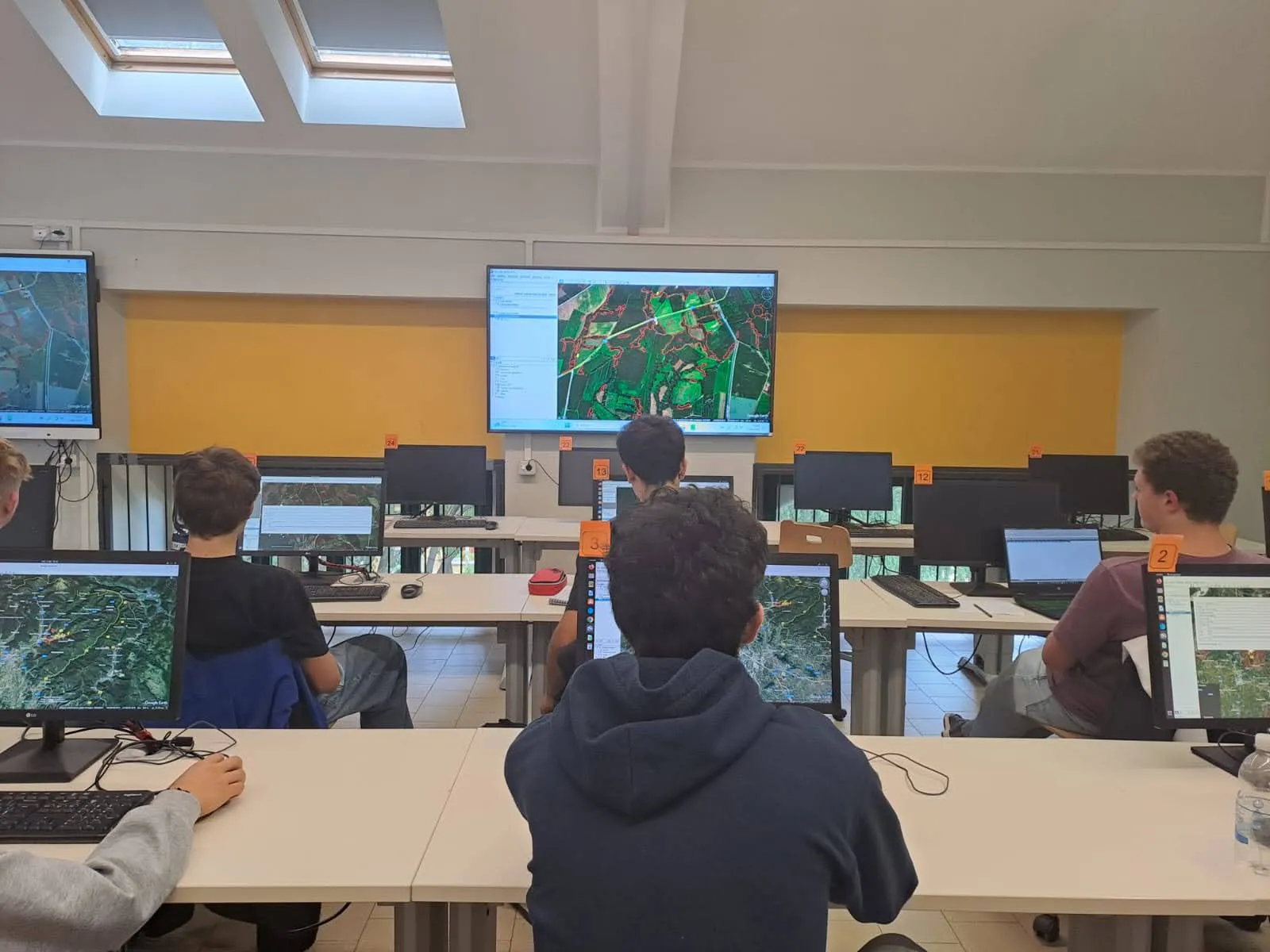
SMART CITIZENS- Nicolò Copernico High School
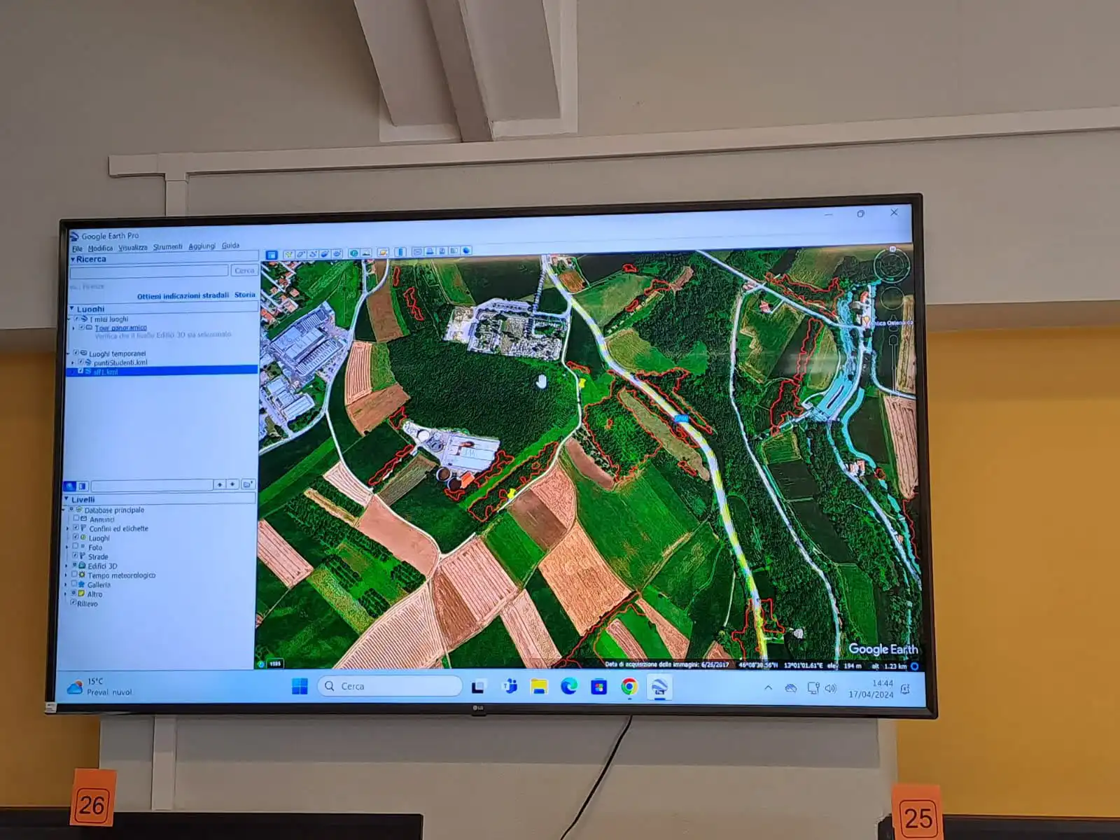
The SMART CITIZENS project was developped with the students of the Nicolò Copernico High School. The goals of the project were to showcase the potential of satellite images in learning about the environment and to use low cost sensors (smartphones) to develop a database of linear landscape elements in order to learn about their role in protecting biodiversity.
Using the Eyeland App the students located, photographed and mapped over 100 elements, including hedgerows and tree rows, in the Friuli Venezia Giulia region. The results and maps were showcased during a dedicated event at the school where all those present- teachers, students, and representatives of the municipality’s park services and of the regional Beekeeper’s Union- discovered the Eyeland App.
XIII Edition of Earth Day
During the XXIII edition of Earth Day, on April 22nd 2024 in Aquileia (UD), a demonstration was held to prmote saving our planet, during which the operative unit of the University of Udine operated a stand for local schools.
The new EYELAND app, an innovative tool to get to know and appreciate landscape linear elements– like wooded areas, hedgrows, tree rows and wooded strips, all vital for ecosystem health- was presented among the suggested activities.
These linear elements carry out vital ecological functions, including
- protection from soil erosion,
- supplying and regulating water resources
- air filtration
- and providing food and habitats for pollinators and small animals.
The whole event represents a concrete contribution to safeguarding biodiversity and spreading sustainable practices.
Istituto Agrario Cividale
March 18th 2025
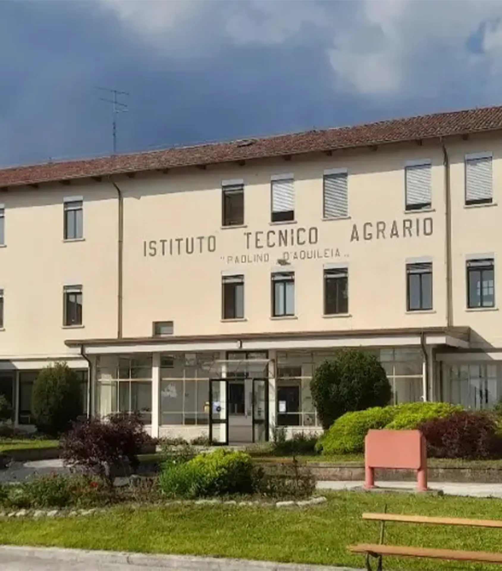
On March 18th 2025 the fifth-year class C in Environmental and Landscape Management at the Istituto Agrario Paolino d’Aquilea explored the theme of “The City as Ecosystem”, covering topics such as urban green spaces, ecosystem services, and the technology used to map them.
The practical part of the workshop involved mapping a part of the school grounds using the Eyeland app to geolocate plants and the Plantnet app (https://identify.plantnet.org/it) and dichotomic key created by the DRYADES project (https://dryades.units.it/home) to identify the species.
Istituto della Bassa Friulana Cervignano
April 4th 2025
Fourth-year students at the ITST Malignani-ISIS della Bassa Friulana completed an “Earth Observation Tools” program.
The objectives of this program were for students to understand the potential of using satellite images to learn about the environment and to use low cost sensors (smartphones) to develop a database of green elements, learning about their role in the preservation of biodiversity in the process.
The Eyeland app was used to map campus trees and categorize the green spaces on campus. The results were presented at the World Earth Day in Gorizia.
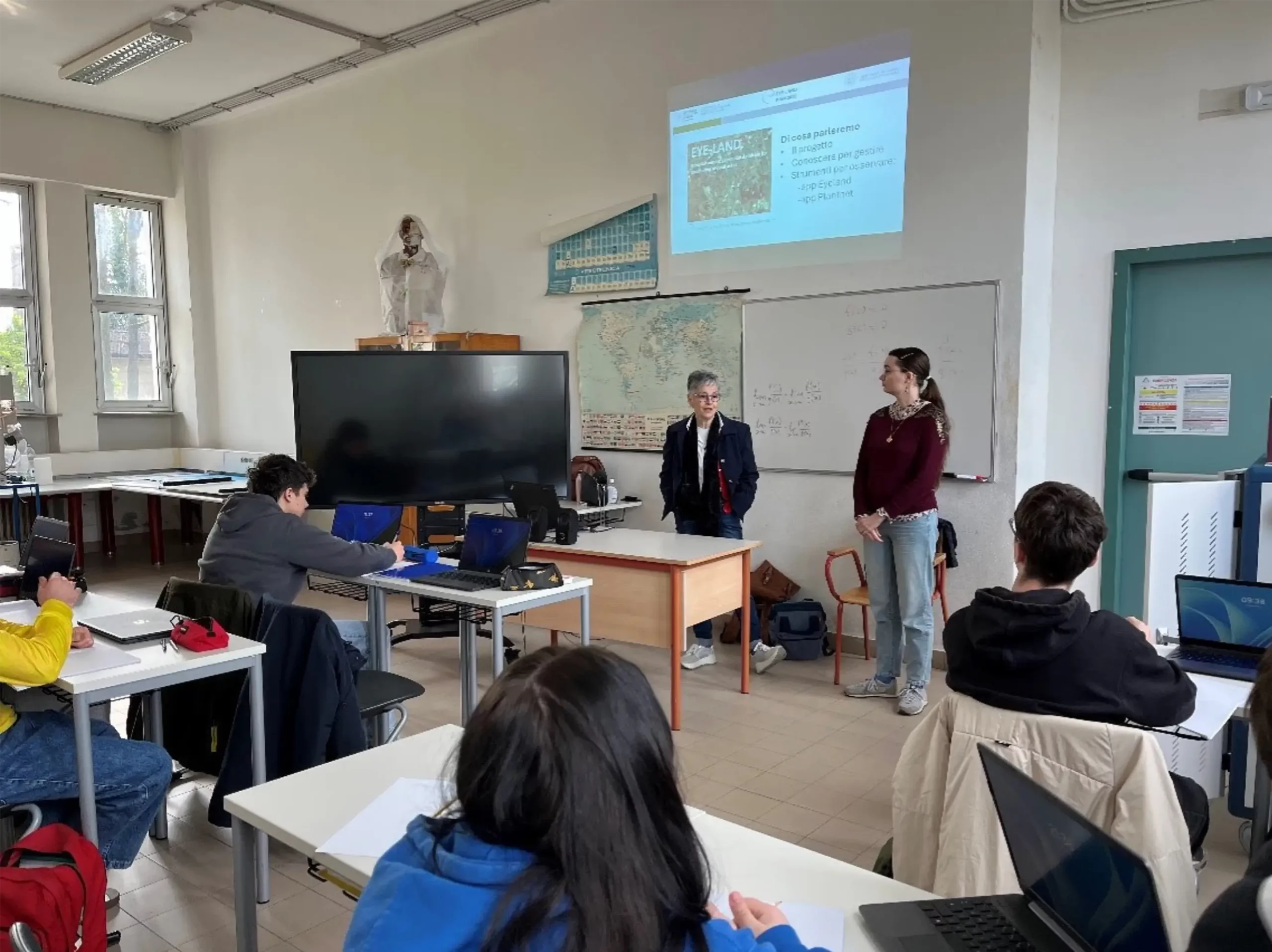
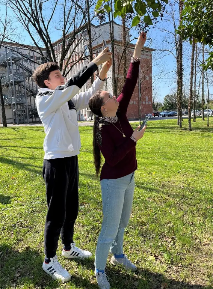
world earth day Gorizia
April 15th 2025
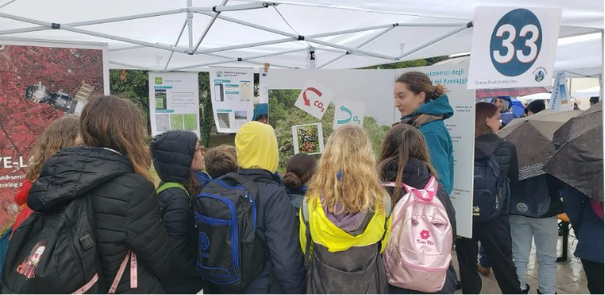
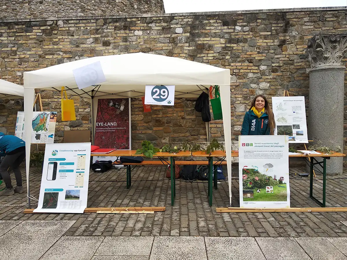
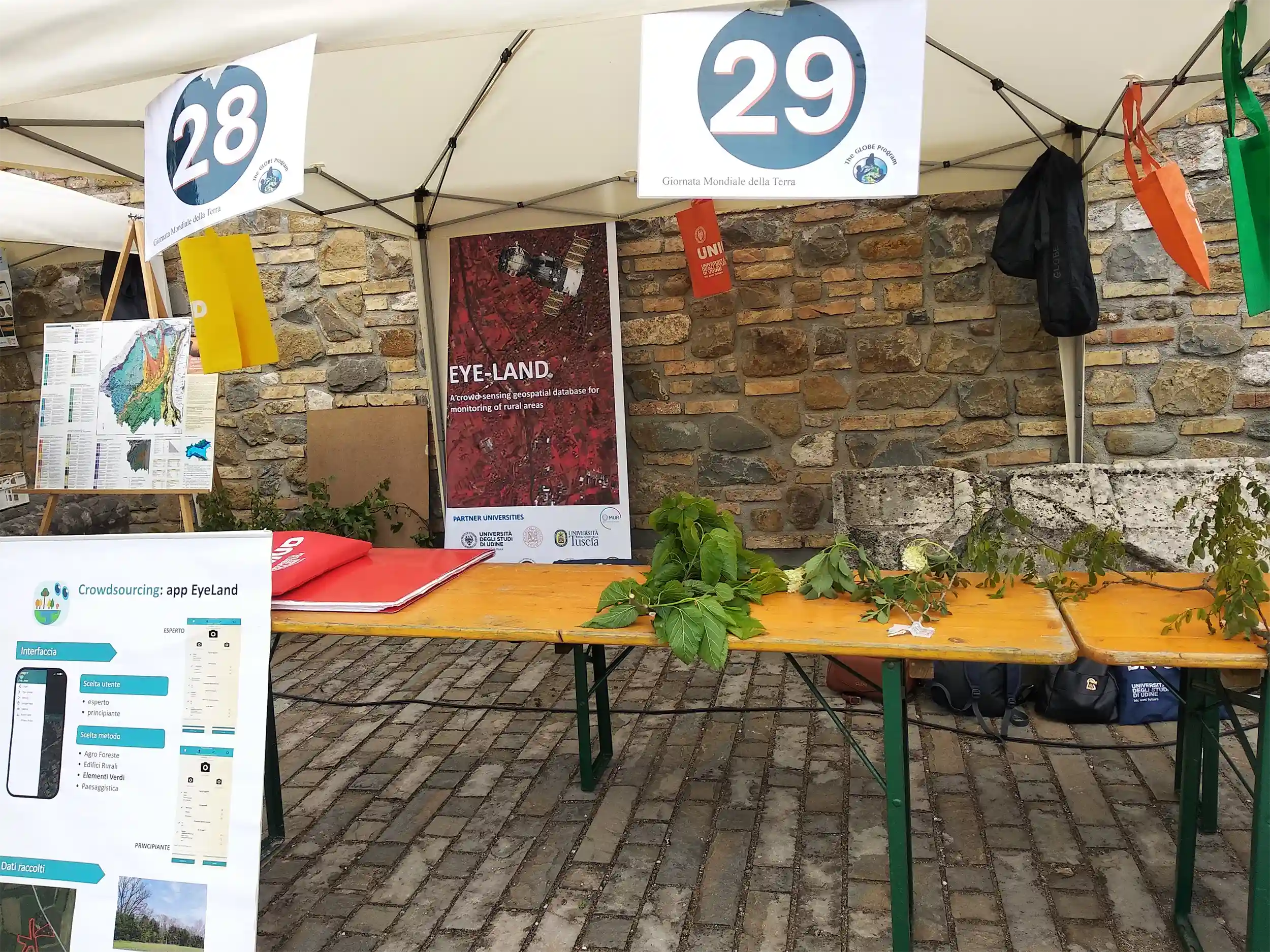
The University of Udine’s Department of Agricultural, Food, Environmental and Animal Sciences participated in the 2025 edition of World Earth Day in Gorizia.
The theme of the stand was “Knowledge in smartphone reach: Hedgerows, trees and their benefits” and included demonstrative and interactive activities with simple proximal tools for green element mapping and categorization using smartphones.
Alongside the Eyeland app for landscape mapping, the stand also presented the apps PlantNet for species identification and Canopy Cover for recording ground vegetation cover. Younger students learned about the ecosystem services offered by hedgerows with the help of an illustrated magnetic posterboard.
Un Occhio sul Verde all’Università di Udine
May 9th 2025
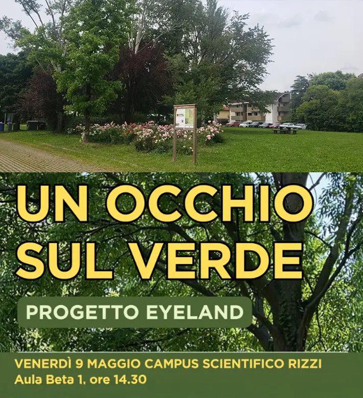
The Eyeland working group at the University of Udine collaborated with UniUD Sostenibile (https://www.uniud.it/it/ateneo-uniud/ateneo-uniud/uniud-sostenibile) and RUS – University Network for Sustainable Development (https://reterus.it/) to host a workshop dedicated to mapping the university’s campus green.
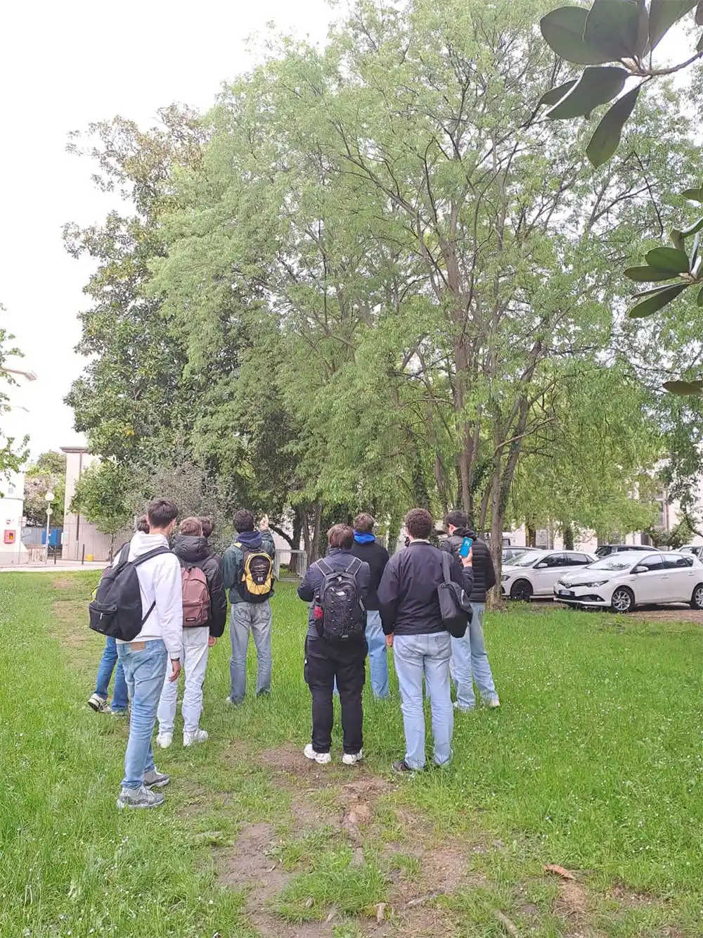
After presenting the Eyeland project and app to students, the students split into two groups and mapped out the green elements in some areas of the Rizzi Science Hub campus, beginning the process of surveying the campus green
